A selection of graphs and maps from my research, and data projects. Tools used include Stata, Python, and QGIS.
Maps
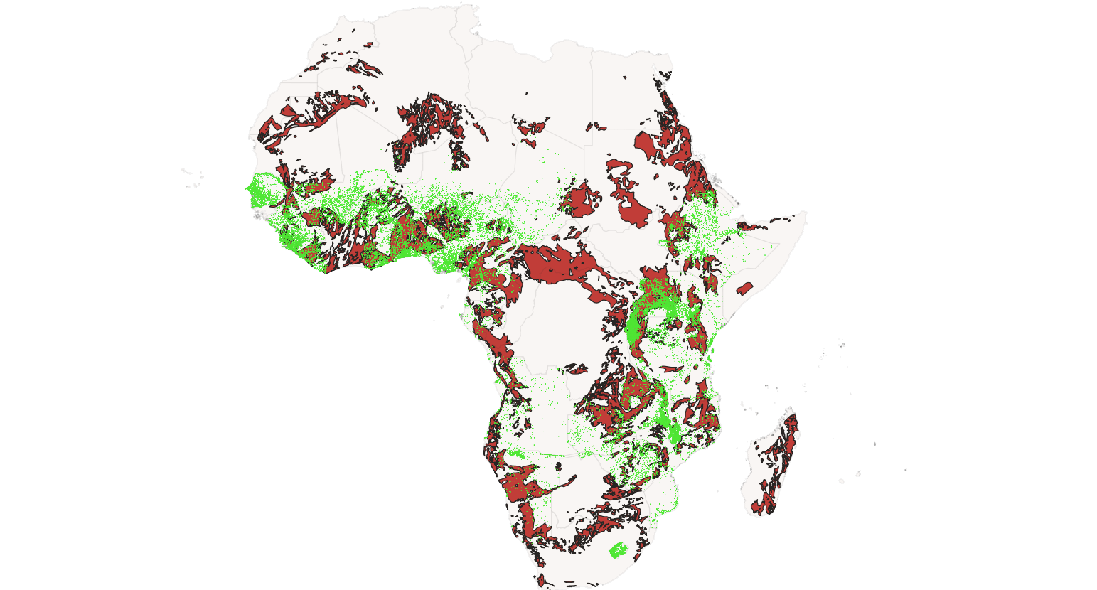
DHS Clusters & Artisanal Mining, Africa
Geospatial overlap between Demographic and Health Survey clusters and historical artisanal mining activity across the continent. Used in the artisanal-mines and women-empowerment project.
More maps coming soon.
Graphs
Graphs coming soon.
Want a higher-resolution version of any of these, or the source code that produced them? Email me.